


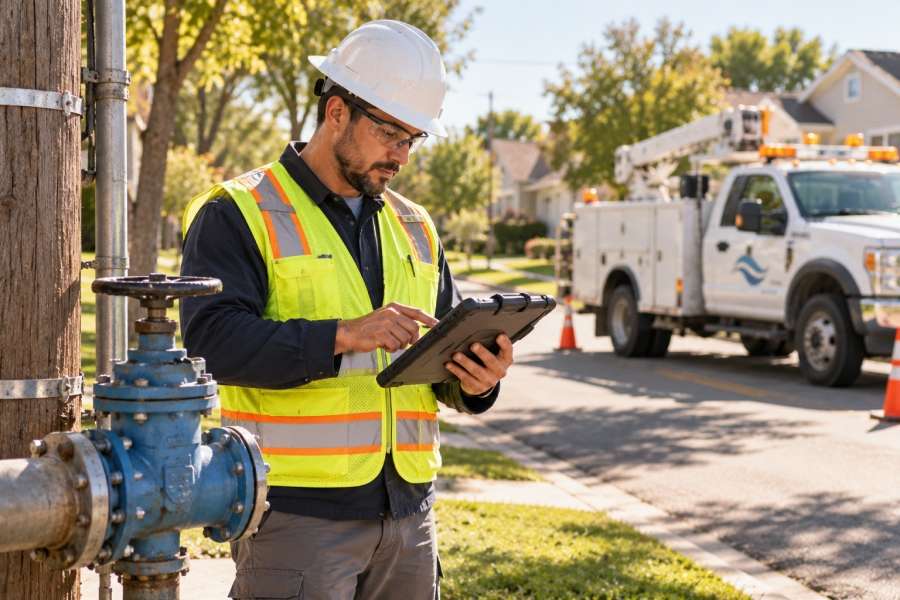
Anyone who has worked on a storm restoration or a water main break at 2 a.m. knows what slows a crew down: information. Which pole is this? Where does that valve sit? Was this service line updated after last year’s road project? The answer should be in the geographic information system (GIS) back at the office, but the people who need it most are on-site in the field.
Mobile GIS closes that gap. It puts the utility’s network map, the same one engineering maintains, on the tablet or phone a field worker already carries. UtiliGo, the mobile mapping application in CSA’s GIS suite, was built for exactly that job. This article looks at what mobile GIS changes for utility field workers, how one municipal electric system uses UtiliGo when a tornado hit, and what to look for if your utility is weighing a mobile mapping tool.
The Problem With Paper Maps and Phone Calls
Most field operations still run on a familiar loop. A crew gets a work order, checks a map book or calls the office, does the work, writes notes on paper, and turns the paperwork in at the end of the shift. Someone in engineering then enters those notes into the GIS, often days later.
Every step in that loop costs something:
- Outdated maps. A printed map book starts aging the day it is printed. Crews make decisions on information that may not reflect last month’s construction.
- Calls to the office. When the map does not answer their questions, the crew calls someone who can look it up. That pulls an engineer or dispatcher away from their own work.
- Double entry. Because personnel can share responsibilities, field notes can get double-entered, which is at the least not productive.
- A gap between field and office. If the GIS is not up to date, the office is working from a different picture than the crews are.
For a municipal utility running electric, water, wastewater, or gas out of one organization, the problem multiplies. Each service often has its own map set, its own crew, and its own way of reporting back.
What Mobile GIS Means for a Field Crew
Mobile GIS makes the utility’s GIS available on a mobile device, with the ability to view, search, and update network data from the field. The difference between mobile GIS and a PDF map on a tablet is that the data is live. Crews can tap an asset to see its attributes, record what they found, attach a photo, and send that update back to the office system. Crews spend less time hunting for information, the office spends less time reentering it, and both sides work from the same map.
How UtiliGo Works
UtiliGo works alongside UtiliTrak, CSA’s infrastructure mapping system, which maps and models a utility’s electric distribution infrastructure. Field personnel use UtiliGo as a mobile app; office staff access the data through a web browser.
Several capabilities of a mobile GIS are key for utility field workers:
- Works with or without an internet connection. Crews can keep working in areas with weak coverage, and their updates sync with the office GIS once a connection is available.
- Runs on the devices crews already carry. UtiliGo supports Apple, Android, and Windows devices, so a utility does not have to standardize on one platform before rolling it out.
- Sends field updates back without reentry. Edits made in the field can be uploaded, reviewed, and saved to UtiliTrak, so no one is retyping notes from a clipboard.
- Covers multiple services. UtiliGo handles electric, gas, water, wastewater, and fiber networks, which suits municipal utilities that operate several services under one roof.
- Adapts to your own workflows. Utilities can tailor UtiliGo to manage processes like inspections and project tracking without paper forms.
A Real Example: Damage Assessment After a Tornado
In December 2021, an EF2 tornado struck a municipal electric system in Middle Tennessee that relies on CSA’s GIS tools. About 18,000 of the system’s roughly 36,800 customers lost power. Four of its eight substations went down, and crews faced 189 broken poles, 90 damaged transformers, and two miles of downed fiber.
The utility was already using UtiliGo for routine work, including an LED streetlight replacement project covering about 3,000 lights and ongoing pole replacements. When the storm hit, the team turned it into a damage assessment tool.
| How the storm response worked in UtiliGo
· Field staff assessed damage in UtiliGo and attached photos at each location. · Custom map symbols showed every location’s status at a glance, from “unassessed” and “trees only” to “needs line crew” and “work complete.” · Office staff updated UtiliTrak each night and pushed the data back to UtiliGo, so crews started every morning with a current picture. · Warehouse staff used an iPad to see assessments, pull materials, tag them to specific poles or damage numbers, and mark them ready for pick-up. |
Those same records, including pole and transformer numbers, coordinates, addresses, materials used, and photos, became the backbone of the utility’s reimbursement documentation for the Federal Emergency Management Agency (FEMA). The FEMA representative called it one of the most detailed damage inventory reports he had received.
That kind of documentation is very hard to rebuild after the fact. Capturing it while crews work is what makes the difference. And the need is not going away: the U.S. Energy Information Administration reports that in 2024, power interruptions tied to major events such as hurricanes and storms averaged nearly nine hours per customer.
What Changes Day to Day
Storms are the dramatic case, but value of mobility is there day-to-day as well.
- Contractors get up to speed faster. For the Middle Tennessee system’s pole replacement work, contractors with no prior knowledge of the system could find the right poles and see what work each one needed, right on the map.
- Projects are easier to track. Map symbols and work orders let supervisors see which segments are finished without driving the route or making phone calls.
- Records stay current. The same utility used UtiliGo to keep One Call location data up to date, which matters every time someone digs near a line or main.
- Reporting gets simpler. Crews’ work can be queried by date, crew, or other criteria and exported to Excel.
For a municipal utility that answers to a city council or utility board, that last point carries weight. Being able to show exactly what was done, where, and when supports budget requests, storm cost recovery, and public accountability.
What to Look for in a Mobile GIS Tool
If your utility is evaluating mobile GIS, a few questions separate a tool your crews will use from one that sits unopened on a tablet:
- Does it work offline? Coverage gaps are common in rural territory and even in parts of town. A tool that stops working without a signal will get used a lot less.
- Does it connect directly to your office GIS? If field edits must be exported, emailed, and imported, you still have a double entry problem.
- Does it support every service you run? A multiservice municipal utility should not need one field app for electric and another for water.
- Can you customize it without custom development? Your status categories and forms will change. During the Middle Tennessee storm response, the team renamed fields on the fly when the original wording caused confusion.
- Can outside crews use it? Contractors and mutual aid crews arrive without knowledge of your system. The map needs to be clear enough for them to use on day one.
- Will it run on the devices you already own? Device flexibility keeps rollout costs down.
Getting Started With Mobile GIS
Mobile GIS is only as good as the office GIS behind it. Utilities that already maintain their network in a mapping system like UtiliTrak can extend that data to the field without rebuilding it.
For a broader look at how mapping supports utility operations, from outage response to asset planning, read GIS Software for Electric Cooperatives: How Mapping Technology Improves Operations. You can also learn more about the full lineup of CSA’s GIS solutions, including UtiliTrak and UtiliGo.
If your crews are still working from map books and phone calls, a short demonstration is the fastest way to see what changes when the map goes with them.
The information presented in this article is intended for general educational purposes. Utility software environments vary significantly. We recommend consulting with a qualified technology advisor to evaluate solutions appropriate to your organization’s specific operational requirements.